DRONE INSPECTIONS
A picture tells a thousand words - the use of a camera pole or drone inspection can reveal those hard to see areas where problems may not be readily visible. Often we will take between 400-500 photos during an inspection, for a larger property, this could increase to 800-900 photos!
We will also include relevant photos in both Level 2 and Level 3 reports to show you where we are talking about and to make it easier to understand areas of defects.
Of course, not all properties have visible defects such as those shown here. However, you may be interested to see some of those spotted on earlier surveys.
Whilst our surveyors always have their drone or camera pole with them for inspections, sometimes these inspections are limited due to weather, overhead power cables, trees or even nearby aviation restrictions if the property is located near to an airport but wherever possible, we will always do our best to give you a comprehensive inspection.
There are no additional costs involved for drone and camera pole inspections, these are included as part of our service for our clients.

Cracking noted to the chimney stack

Lack of flaunching not visible from ground level, this pot is starting to lean

This roof covering is reaching the end of its' life

Debris caught behind the stack cannot be seen from ground level

The valley gutter only visible from above

The gutter behind the parapet wall

The cracking of the flaunching only visible close up

This stack has had many repairs over the years
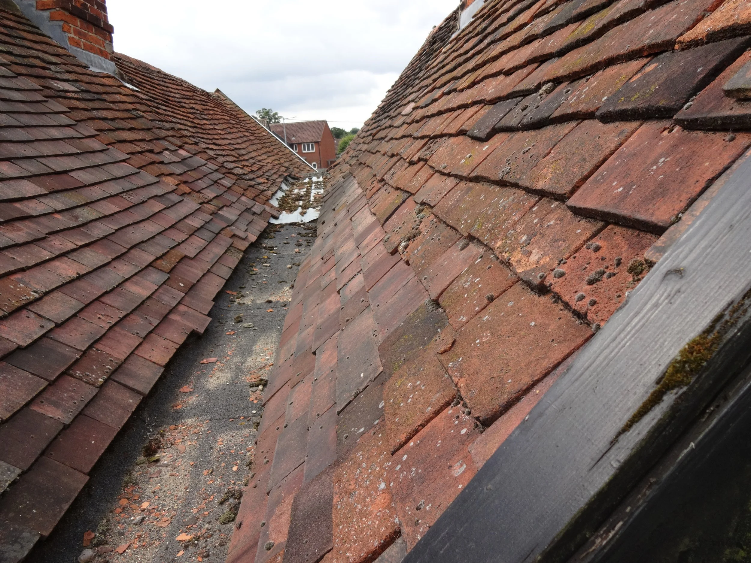
Another valley gutter between the roof structures
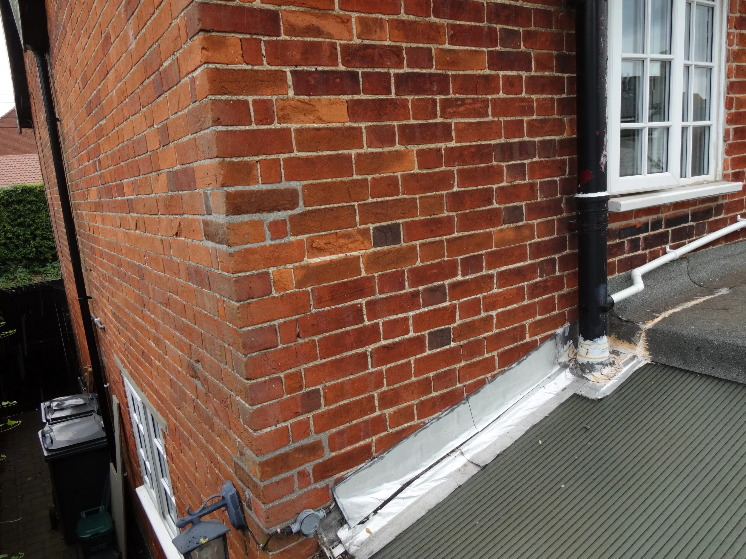
Temporary repairs to prevent water ingress
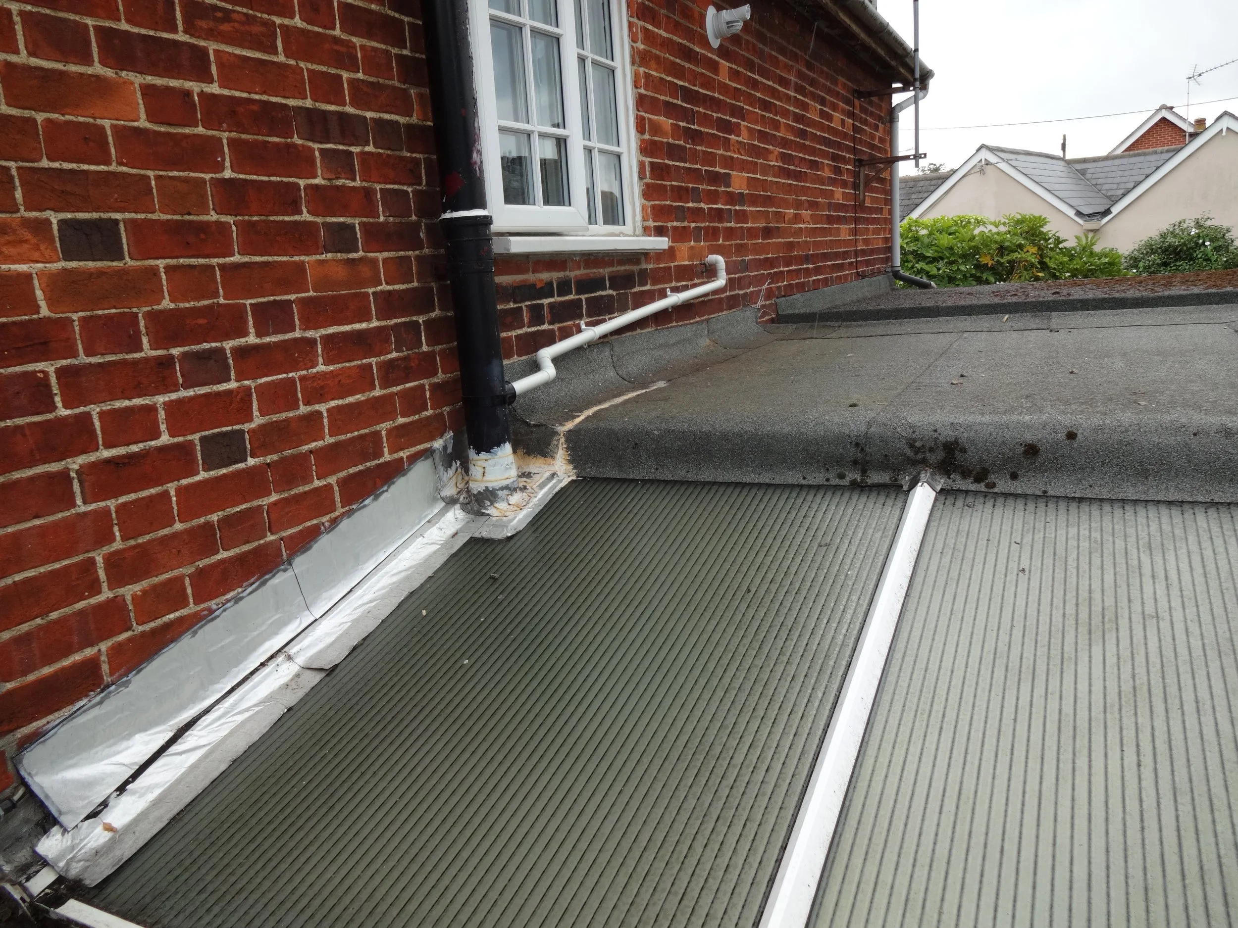
From above, the flat roof coverings are visible for inspection
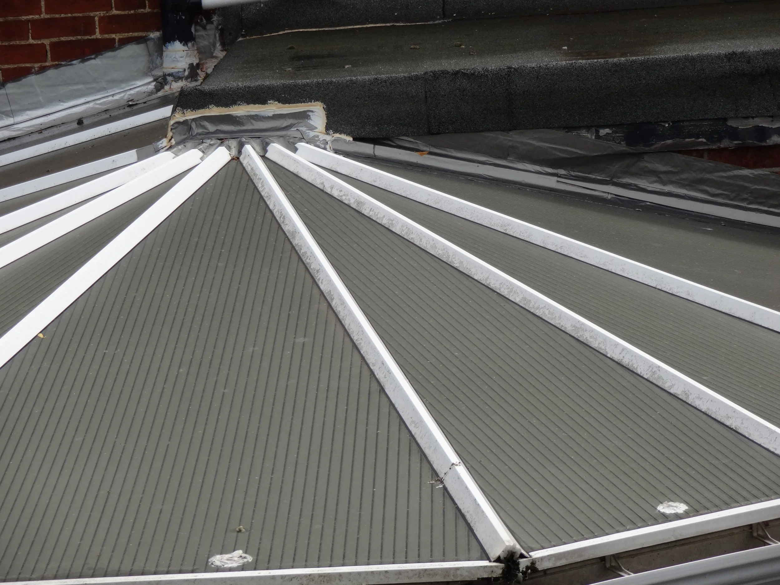
More temporary repairs to stop water ingress to the conservatory roof
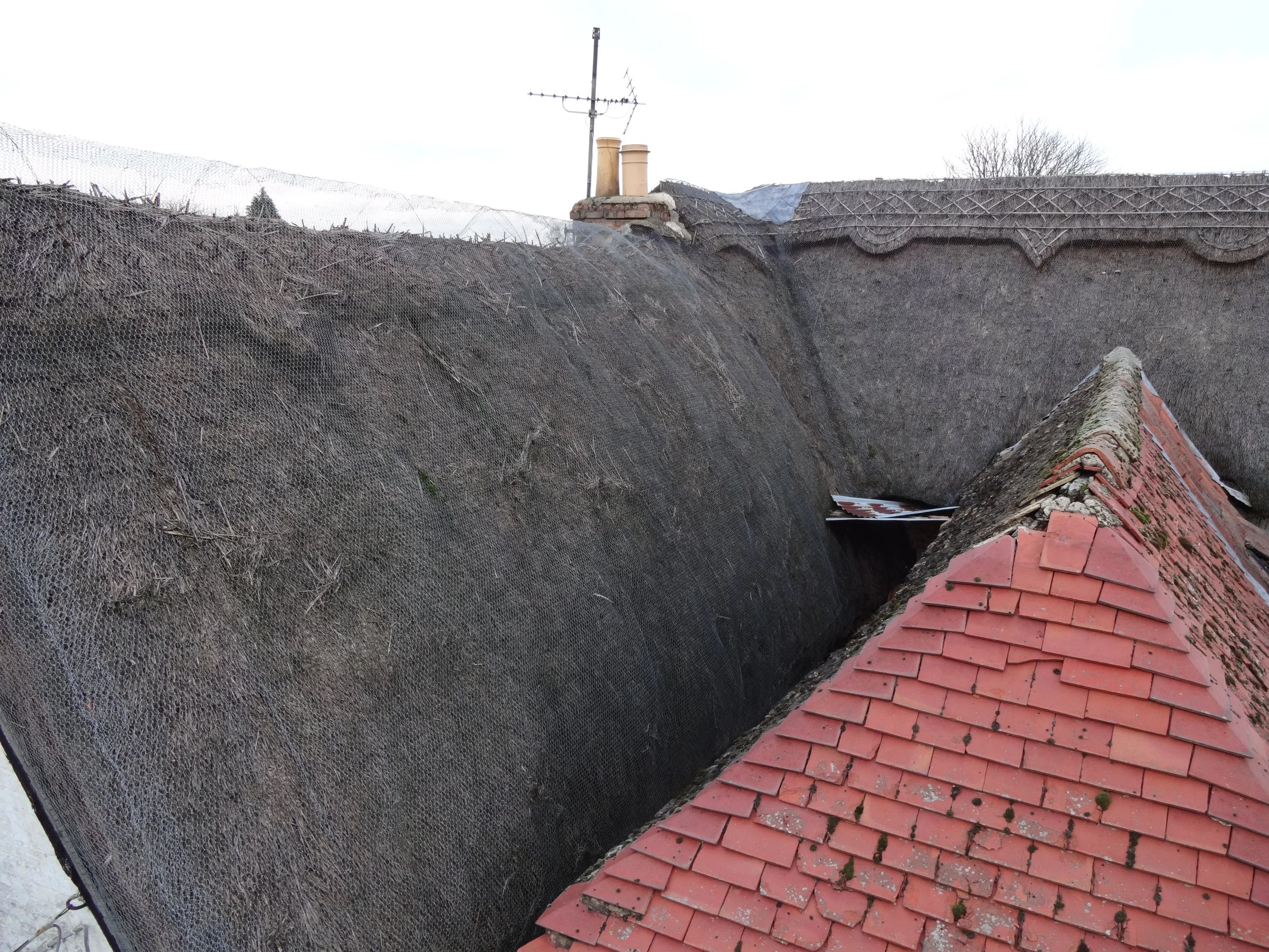
The valleys cannot be seen without a drone or camera pole
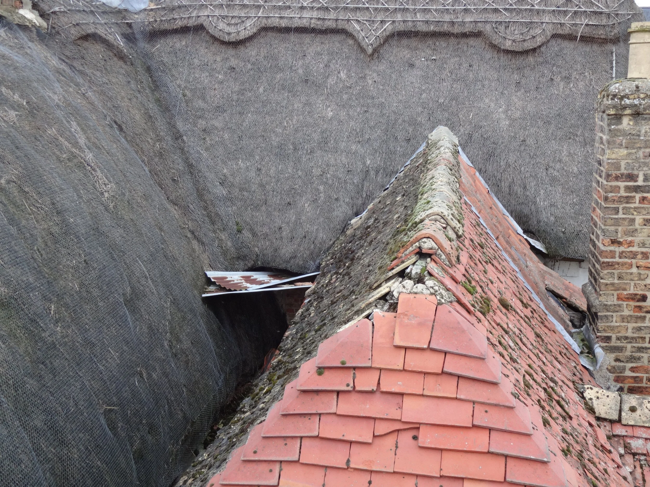
Patch-repairs here with sheets of corrugated metal
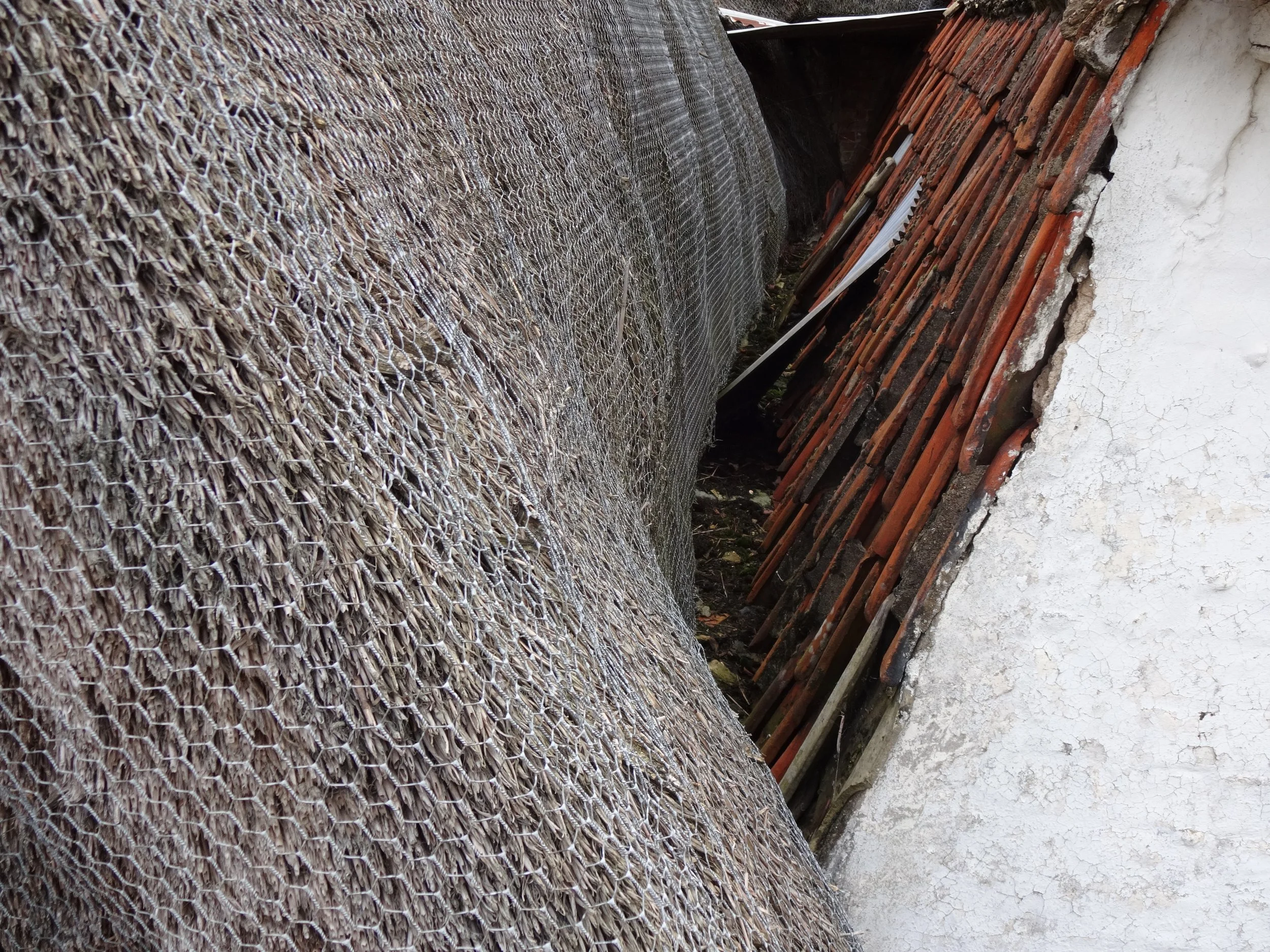
The juncture between thatch and tiled roofs
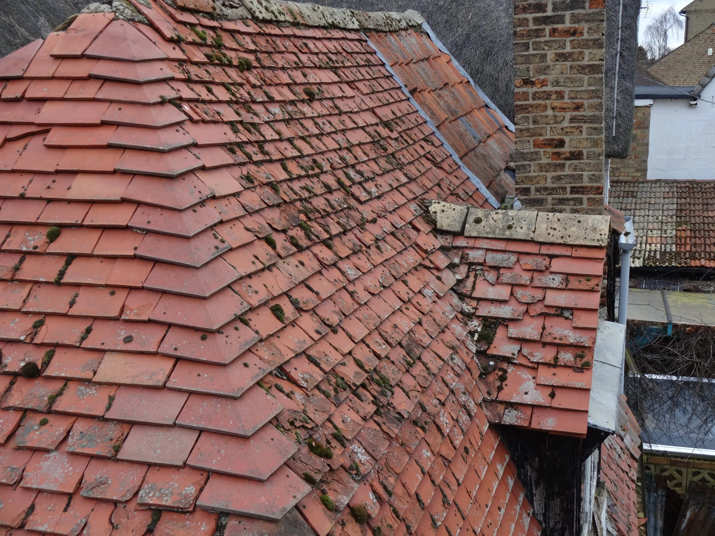
This roof covering has been patched but further repairs are needed now
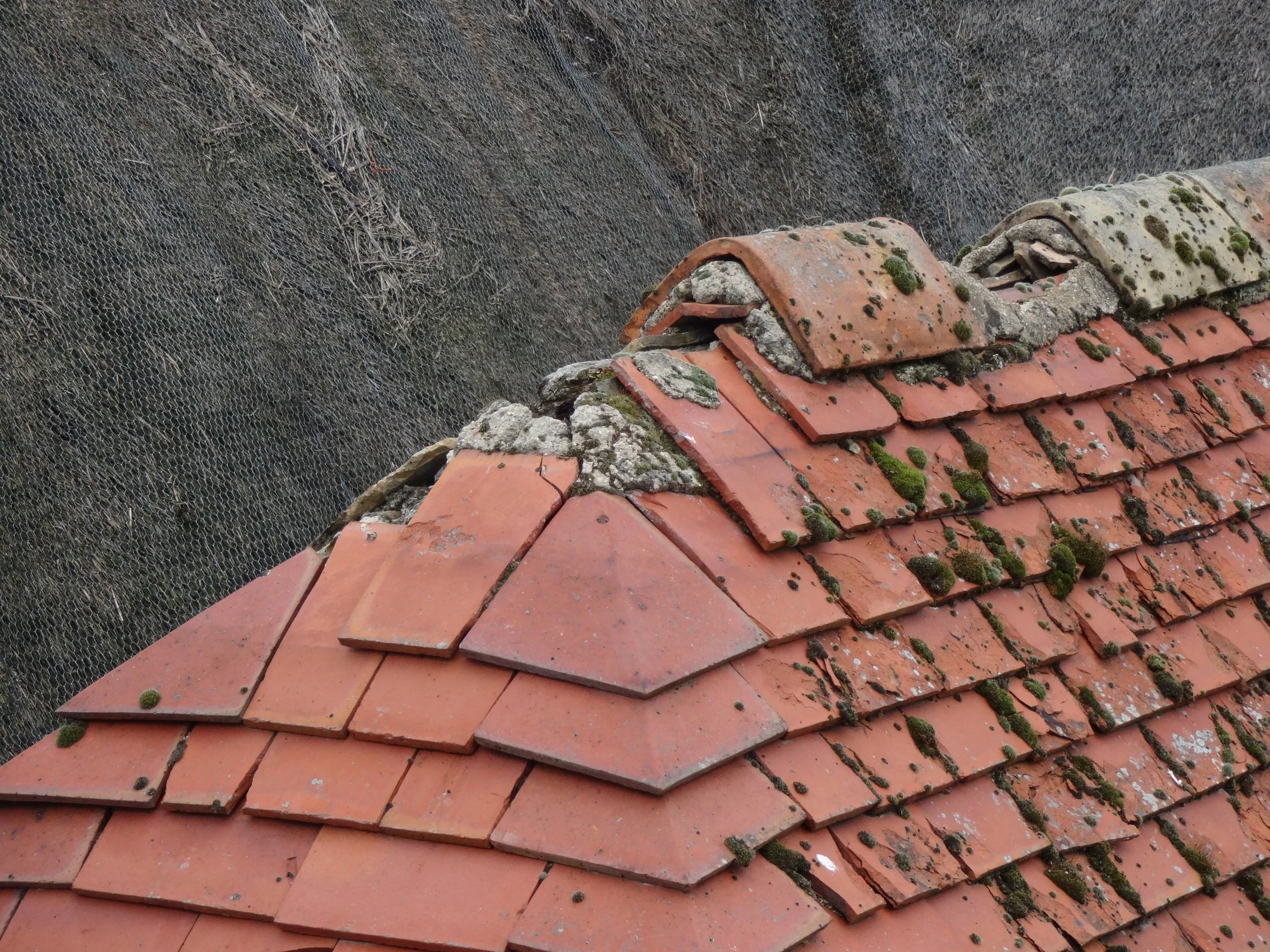
The old mortar has failed causing the roof covering to fall away.

Another awkward area for inspection
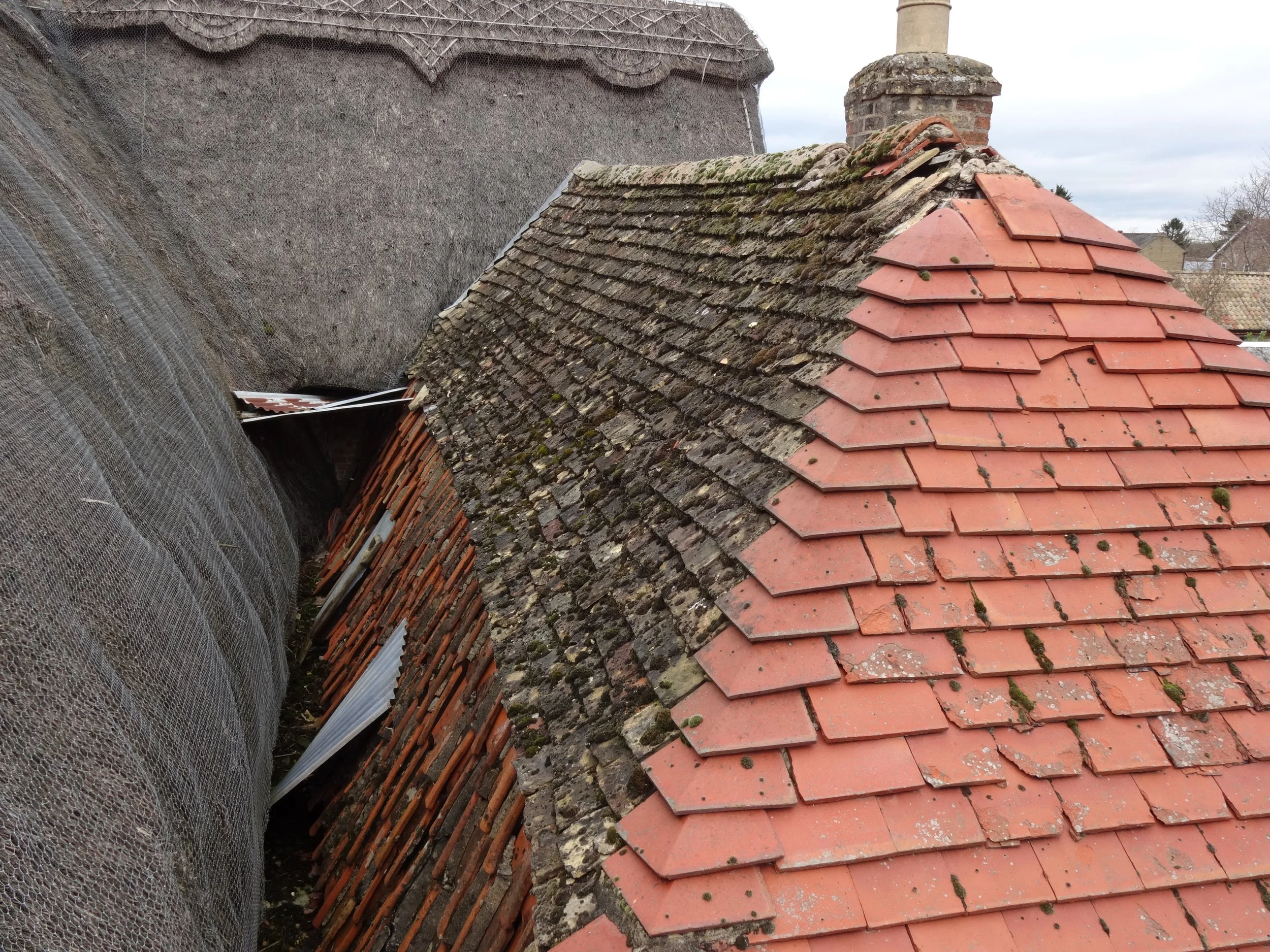
What can't be seen from ground level
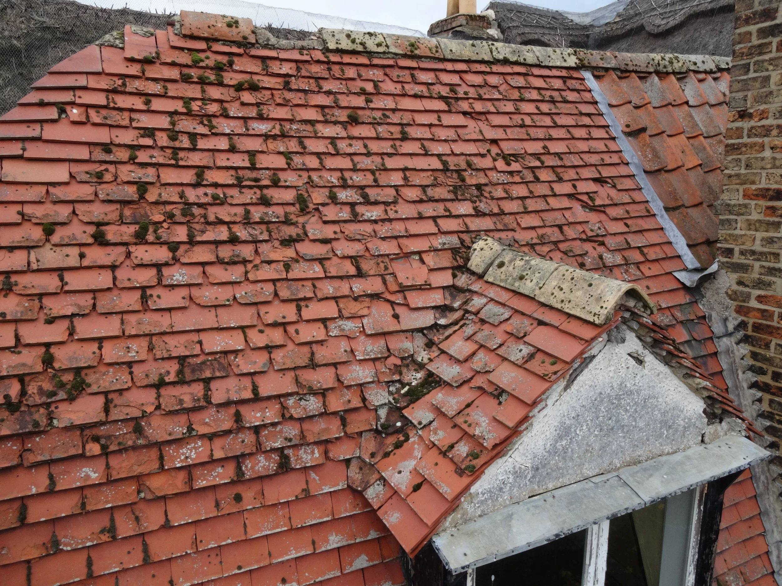
This roof covering has seen better days
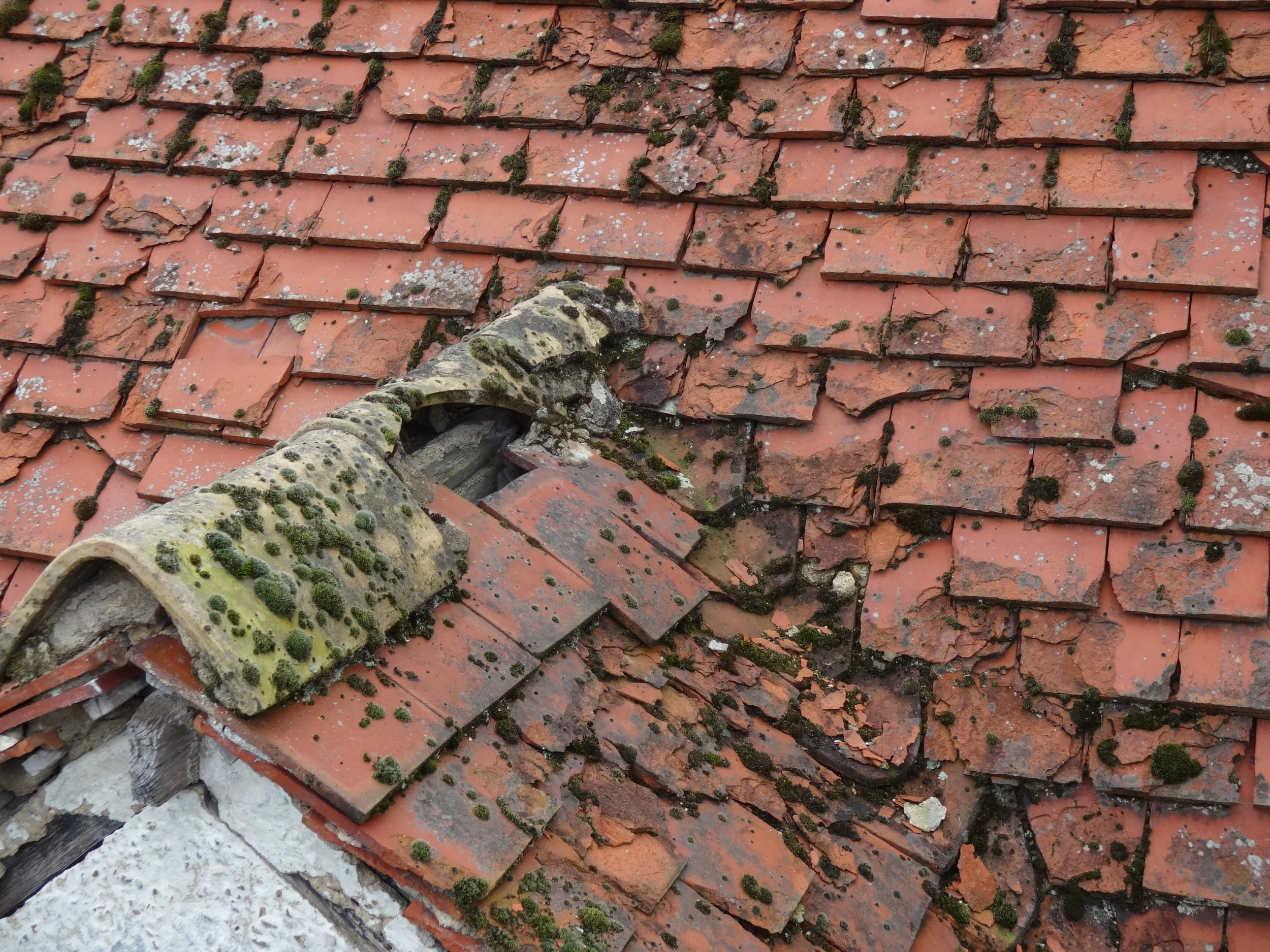
Good example of "spalling" or delamination of the roof tiles.
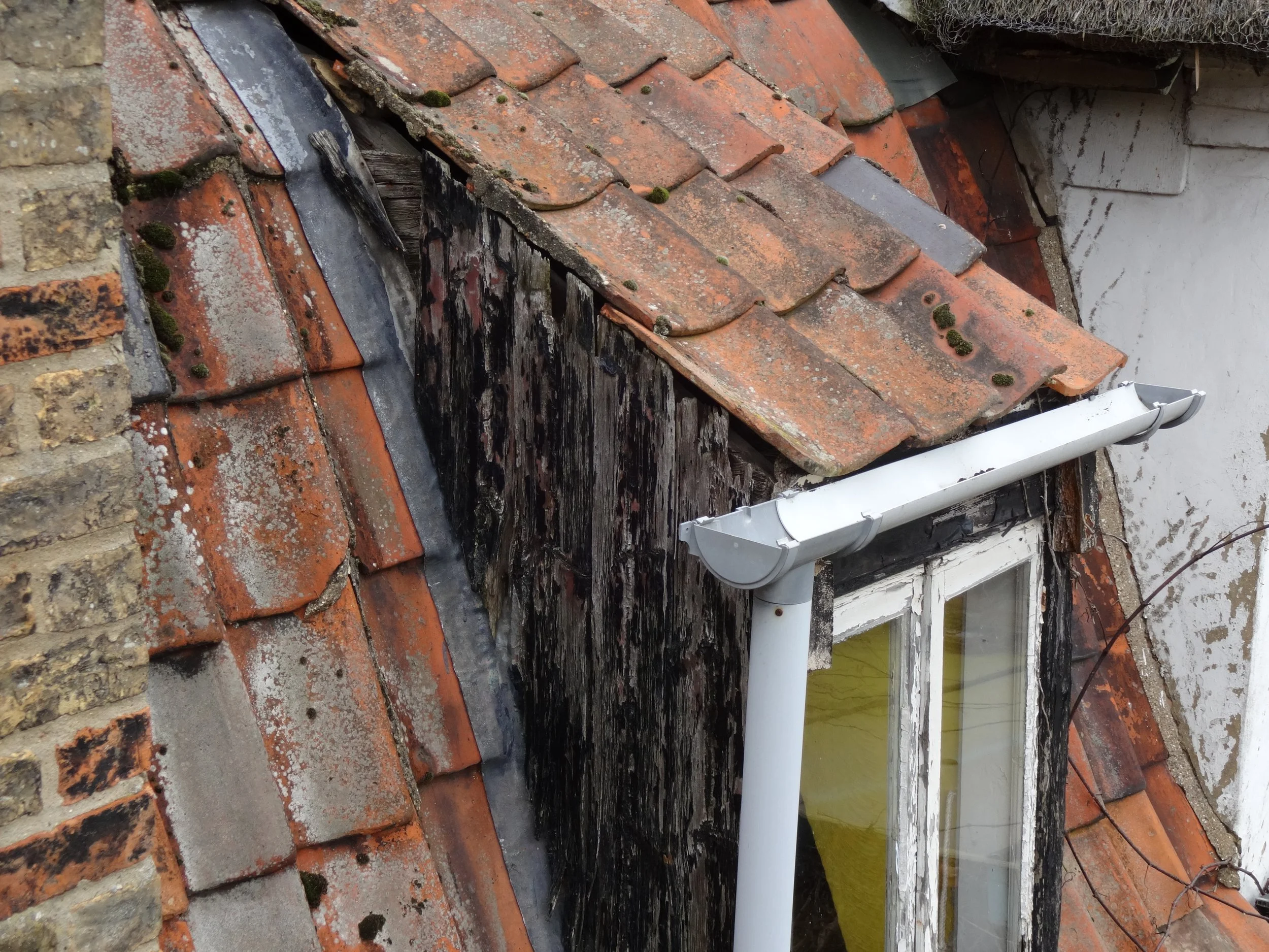
This early dormer is just about in tact

Another hidden area between the two roof structures
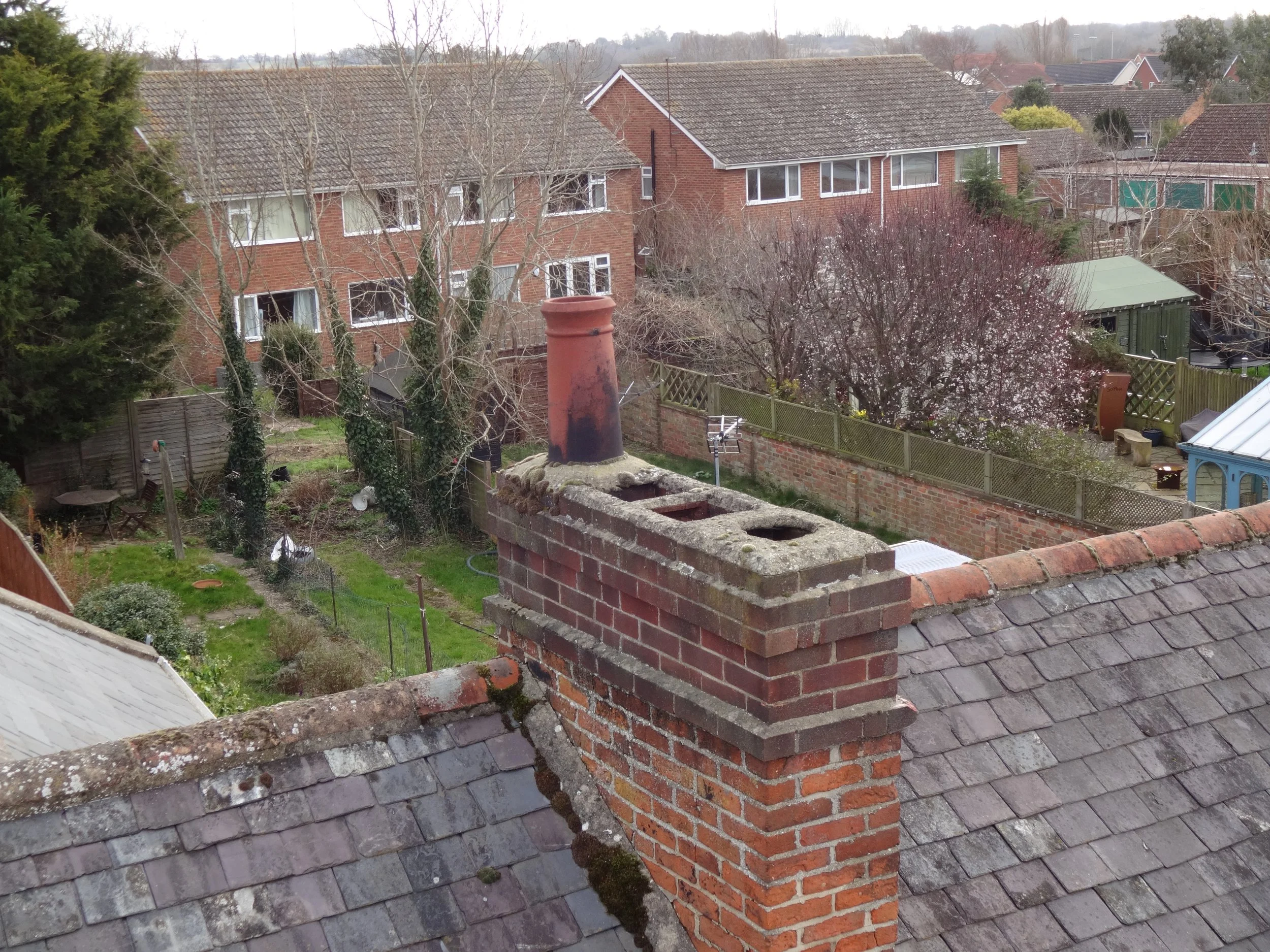
From ground level no one would know the flues are open to the weather and nesting birds
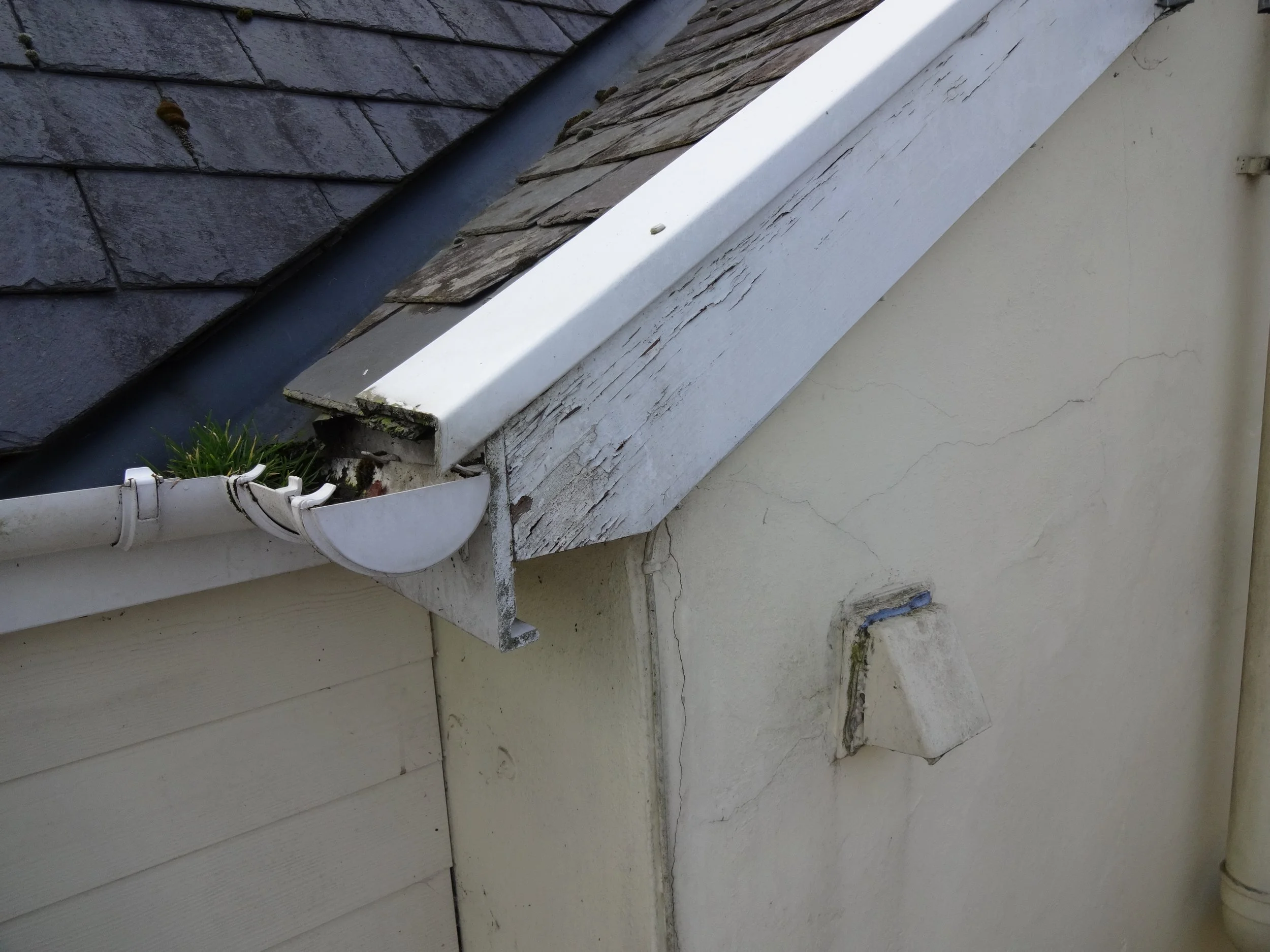
A lack of maintenance noted to the valley and barge boards and DIY repairs holding the tiles to the verge (edge) in place
